Altitude 2437 m/s.l.m.
Municipality Rabbi
Mountain group
Ortles Cevedale
Location
Alta Val Saent
History and environment
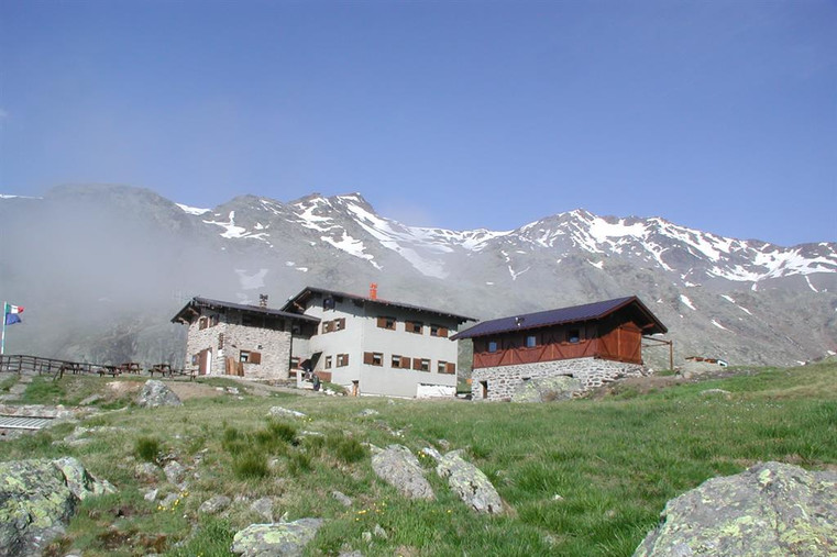
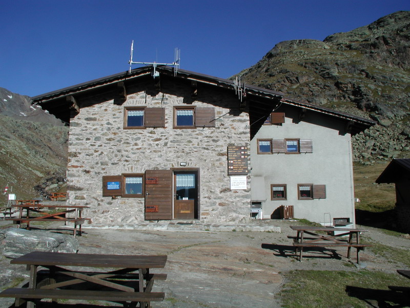
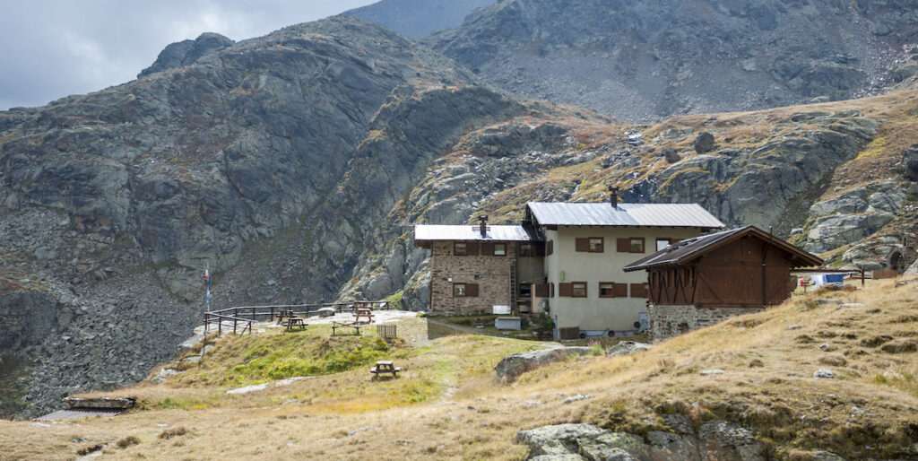
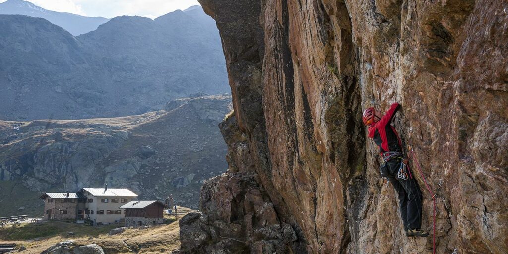
The Dorigoni Hut is located in Val Saent, one of the most beautiful and untouched valleys of the Stelvio National Park and of the whole Ortles-Cevedale Group, at an altitude of 2436 m above a rocky step, in an open and sunny position.
The Saent waterfalls, the Prà di Saent with its malga and marmots that can be easily approached, the Monumental Larches Trail, the Sternai Lakes nature trail and the world of high altitudes with extensive glaciers such as the Careser Glacier and peaks panoramic views such as Cima Rossa and Cima Sternai… are just some of the exclusive features of one of the most beautiful valleys in the Alps.
The Refuge, completely renovated with a touch of typical Alpine style, is modern and comfortable. The cordial welcome of the Iachelini family, combined with the hospitality of a well-kept and peaceful environment, make it an ideal place for pleasant and interesting holidays rich in walks, trekking from hut to hut and high-altitude excursions.
Guides and maps
Mountaineering guide: BUSCAINI, Gino, Ortles-Cevedale: Stelvio National Park, Milan, CAI, TCI, 1984 (Guide of the Mountains of Italy) Hiking guide: VALCANOVER, Adolfo – DEFLORIAN, Tarcisio, Guide of the paths and refuges of Western Trentino, Trento, SAT, 1994 Cartography: – Ortles-Cevedale Ortlergebiet, Feletto Umberto (UD), Tabacco, [199-?], scale 1:25.000 (Topographic map for hikers; 08) – KOMPASS map in scale 1:25.000 n. no. 637 “Cevedale-Valley of Peio-Alta Valfurva.
Access
The access path from Val di Rabbi is 106 and it starts from the car park located in Località Coler, which can be reached by car (Malé > S. Bernardo di Rabbi > Piazzola di Rabbi > Somrabbi > Coler car park). For those arriving by bus, it is more convenient to stop at the Fonti di Rabbi, where the provincial road ends. In fact, the Coler car park can only be reached by minibuses with up to 16 seats. A shuttle bus leaves from the car park (ticket cost = €1) to Malga Stablasolo (1529 m). This saves about half an hour.
Continuing 200 m after the Stablasolo malga, a crossroads on the right offers the possibility to take the path to the Saent waterfalls (it stretches the time for about 10 minutes!) which passes through a marvellous coniferous forest and the amusing splashes of water from one of the most famous waterfalls of the Stelvio National Park. Alternatively, keeping the left, you can take path 106 which passes through the Malga Stablet, one of the park’s visitor centres. After crossing the Prà di Saent with its characteristic Malga, continue to Malga Vecla where the path takes the name of “Sentiero degli Alpinisti”. Here the steepest section begins, which requires only a little attention in exchange for a landscape of rare beauty. Along the left side (orographic right) of the Rabbies stream until you reach the Refuge, through a sight full of rhododendrons and marmots.
– from Malga Stablasolo m. 1539 (car park 100 m. lower down, summer refreshment, 4 km road from Piazzola di Rabbi) with path 106 which passes from Malga Stablét m. 1589, Back of the Cross m. 1799, Pra di Saent hut m. 1784 and from Alpe Sternai – 3 hours; from Somrabbi m. 1349 at Piazzola – 4 hours.

Follow us on our social channels and use the hashtag #guidealpinevaldisole