Altitude 2442 m/s.l.m.
Municipality Spiazzo Rendena
Mountain group
Adamello Presanella
Location
Laghi del Mandròn
History and environment
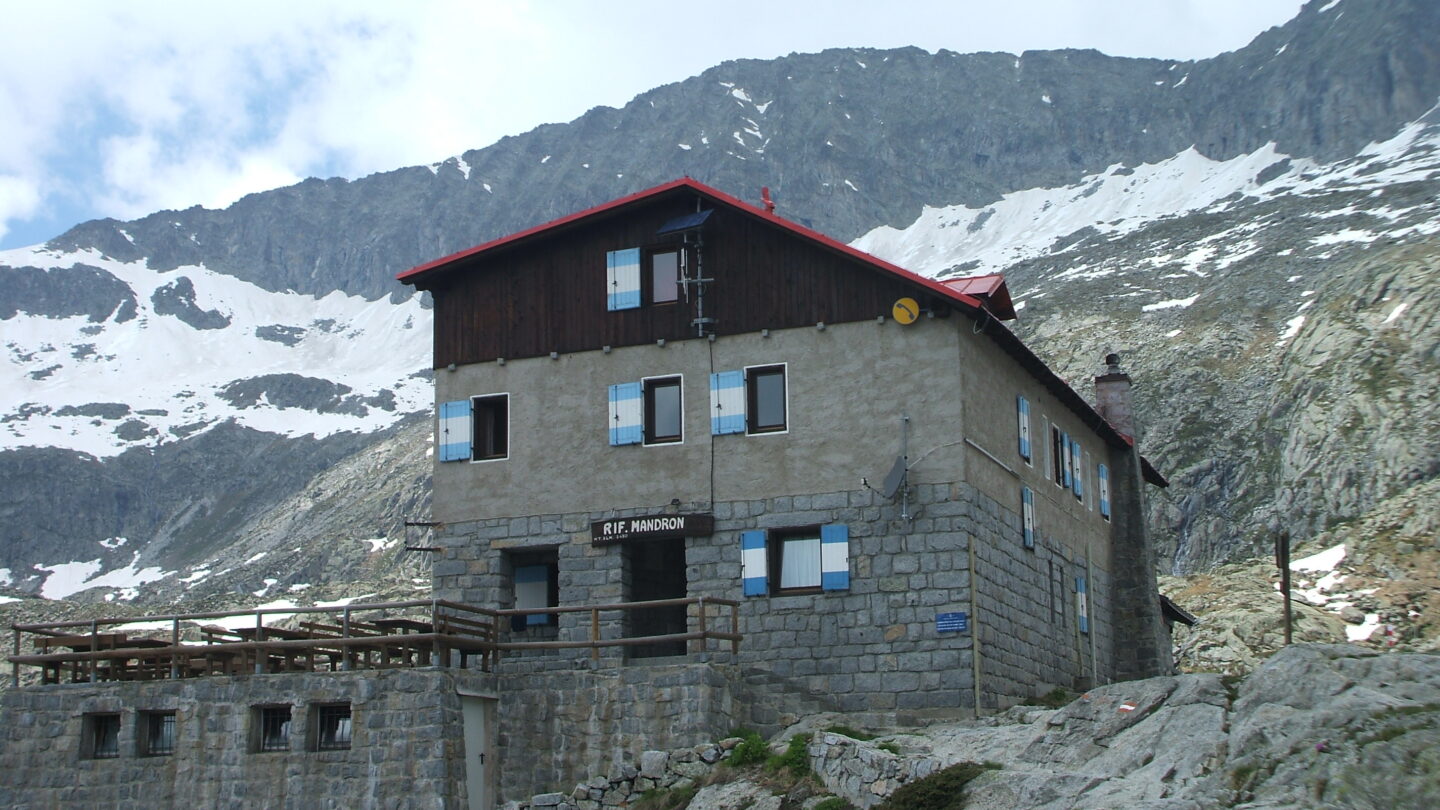
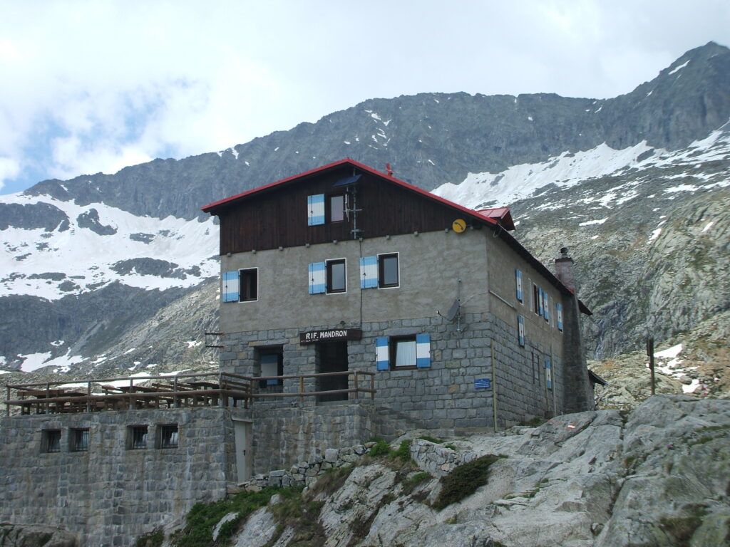
On the edge of the grassy coast of the Conca Mandrón, at a short distance from the homonymous lakes, viewing what is one of the largest and most important Italian glaciers, stands the Mandrón refuge, inaugurated by the S.A.T. in 1959 to replace the old refuge – Lepzigerhütte – built in 1878 by the mountaineers of the Sektion Leipzig of the D.u.Oe.A.V. The main room of the refuge was named after Giovanni Spagnolli, senator and president of the CAI. During the so-called White War, the Mandrón area was the scene of warfare. The surroundings of the refuge are still rich in testimonies of the Great War: communication trenches, lookout posts, trenches and the small military cemetery. The refuge is located in the upper part of the Val Genova, unanimously recognized as the most beautiful valley in the Adamello-Brenta Natural Park. From here the eye sweeps towards the glacier, from which the Sarca river, tributary of Lake Garda, is born. The three tectonic alignments of Ago Mingo – Làres – Carè Alto, Lòbbie – Dosson – Monte Fumo and Adamello – Lagoscuro emerge above the ice. The latter is also the name of a lake of glacial origin located upstream of the refuge. The location of the Mandrón is strategic for excursions on the glaciers. The refuge is also often open in spring to encourage attendance by ski mountaineers. At the beginning of summer the lakes are embellished by the white plumes of the eriophorus, while in late summer the mouth of the glacier discharges an impressive quantity of water downstream. A beautiful little church, built with local granite, completes the landscape surrounding the refuge, a popular and highly recommended destination.
Guides and maps
Mountaineering guide: SACCHI, Pericle, Adamello: volume II, Milan, CAI, TCI, 1986 (Italian Mountain Guide) Hiking guide: TORCHIO, Fabrizio – GARDUMI, Enzo, Excursions in the Adamello Brenta Park, Trento, Panorama, 1995 Cartography : – KOMPASS cards in scale 1:25.000 n. 638 “Adamello” and no. 639 “Presanella”.
Access
1) from the Bédole “Adamello Collini” hut m. 1641 in Val Genova (16 km from Carisolo), along path 212, which passes by the old refuge – 2.30 hrs
2) from Passo del Tonale m. 1882 path 209 up to Passo del Paradiso m. 2573 (also by cable car), then from Capanna Presena m. 2729, through the homonymous Vedretta at Passo del Maroccaro m. 2973 – 4.30 hrs; using the cable car – 2.30 hrs.
Photos

Follow us on our social channels and use the hashtag #guidealpinevaldisole